
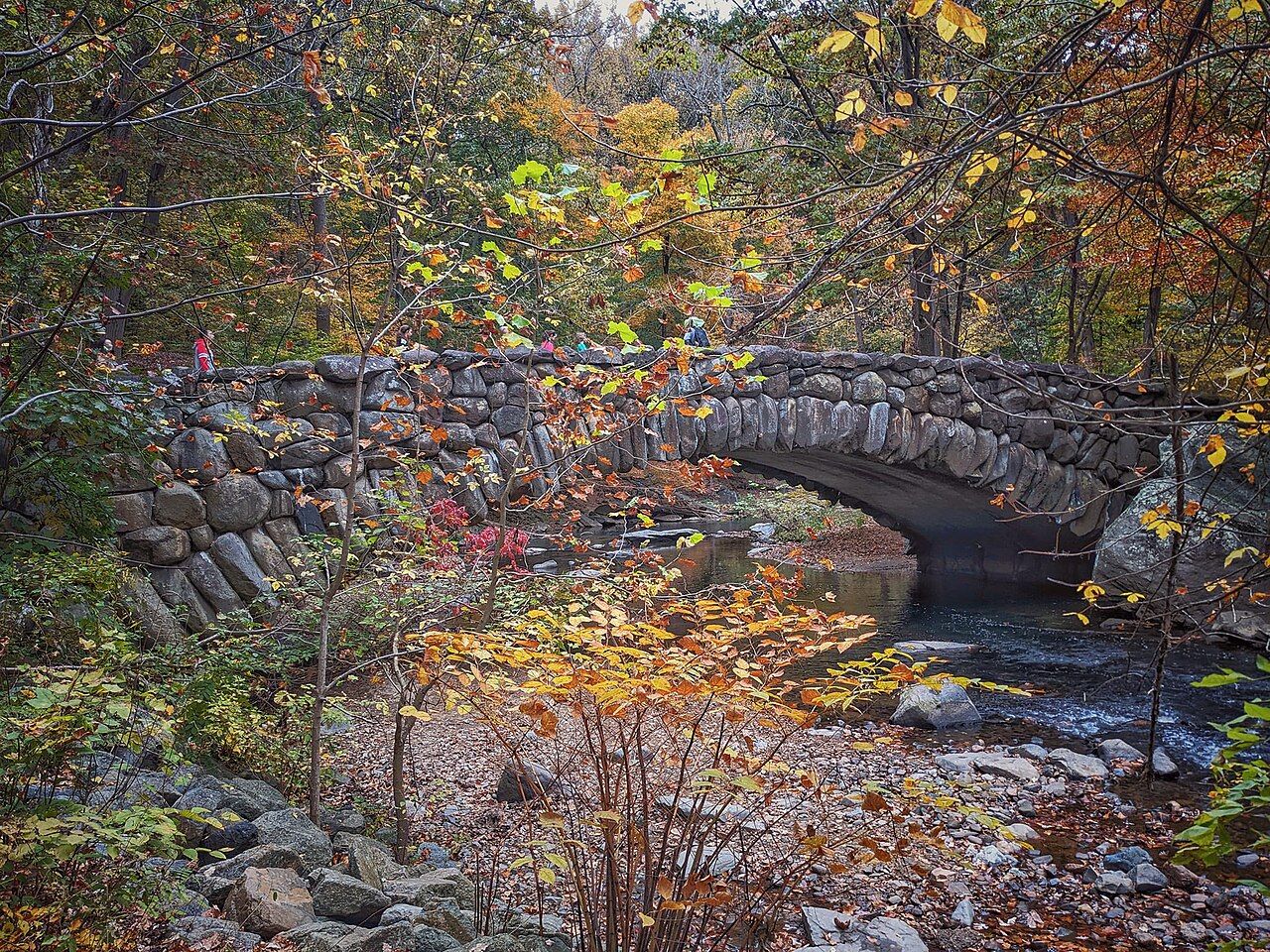
West of Adams Morgan the land drops away into a deep, wooded valley. At the bottom runs Rock Creek, and around it stretches Rock Creek Park, one of the largest urban parks in the United States and one of the first parks the federal government set aside, in 1890. From the neighbourhood you can be on a forest path beside running water within a quarter of an hour, which is one of the great pleasures of staying here.
Like most of the green land along the creek, it is managed by the National Park Service, and there is no charge to walk in. Facilities, road closures and programmes change, so look at current notices before setting out.
Getting down to the creek
There are several ways into the valley from the neighbourhood. The most straightforward goes through the streets of Lanier Heights and down Adams Mill Road to the lower end of the National Zoo, where paths and the road continue north along the creek. Another is to cross the Duke Ellington Bridge on Calvert Street and look for the paths that drop toward the trail along the parkway; they are steep and not always obvious.
Both routes are steep in places, and you will climb back up on the way home. Allow time and energy for the return. The bridges over the valley, with their own views and history, are covered in our guide to the bridges over Rock Creek.
Along the lower creek, the valley is fairly narrow, with the road, a paved path for walkers and cyclists, and the water sharing the space. Farther north, beyond the zoo, the park widens and the woods grow deeper.
Peirce Mill
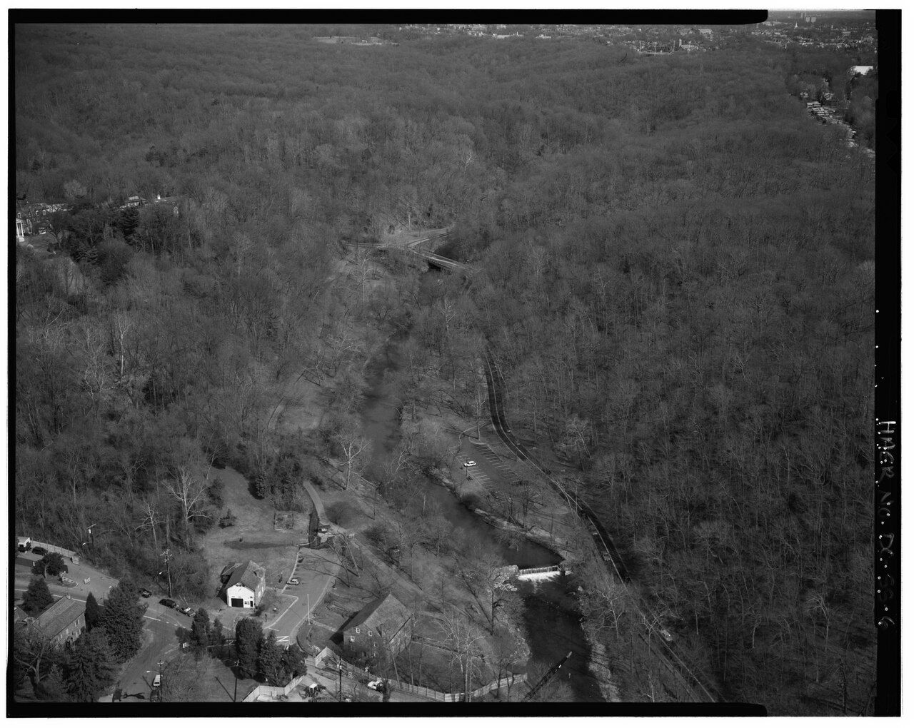
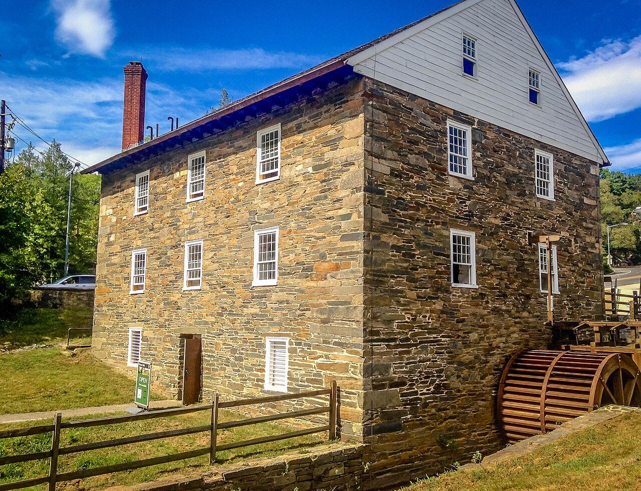
About two miles north of the neighbourhood, near Tilden Street and Beach Drive, stands Peirce Mill, a stone gristmill built in the 1820s. It is one of the last reminders that this valley once held several mills powered by the creek. The mill has been restored, and at times rangers and volunteers demonstrate how grain was ground, with the wheel turning.
Next to the mill, the old stone barn and the small dam on the creek make a good place to rest. Picnic spots nearby are popular on weekends.
Boulder Bridge and the upper park
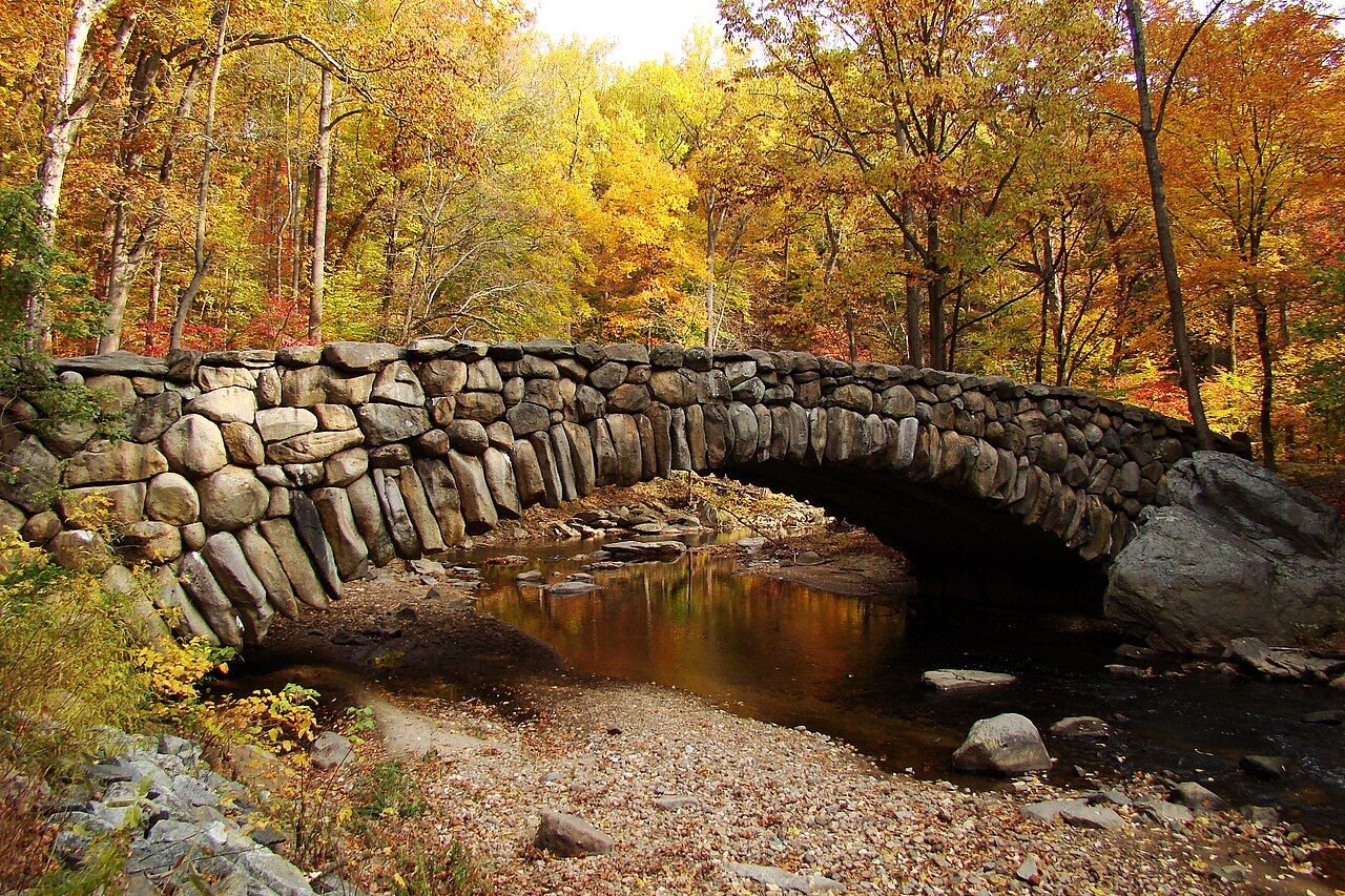
Farther north still, Boulder Bridge crosses Rock Creek on a single arch made of large rounded stones, built around the start of the twentieth century. It was designed to look rustic and natural, as though made from the creek's own boulders, and it fits the wooded setting. It is a lovely spot to stand and watch the water, especially after rain when the creek runs high.
Above Boulder Bridge the park becomes quieter and more like a forest. Large old trees shade the ridges, and side valleys with small streams run down to the creek. This is where you find the park's wilder side.
The park as a whole stretches north all the way to the Maryland line, several miles from Adams Morgan. Across that distance you find old forts from the Civil War defences of Washington, a golf course, a horse centre, tennis courts, picnic groves and long stretches of woods. Most visitors from the neighbourhood see only the southern end, which is already plenty for a morning.
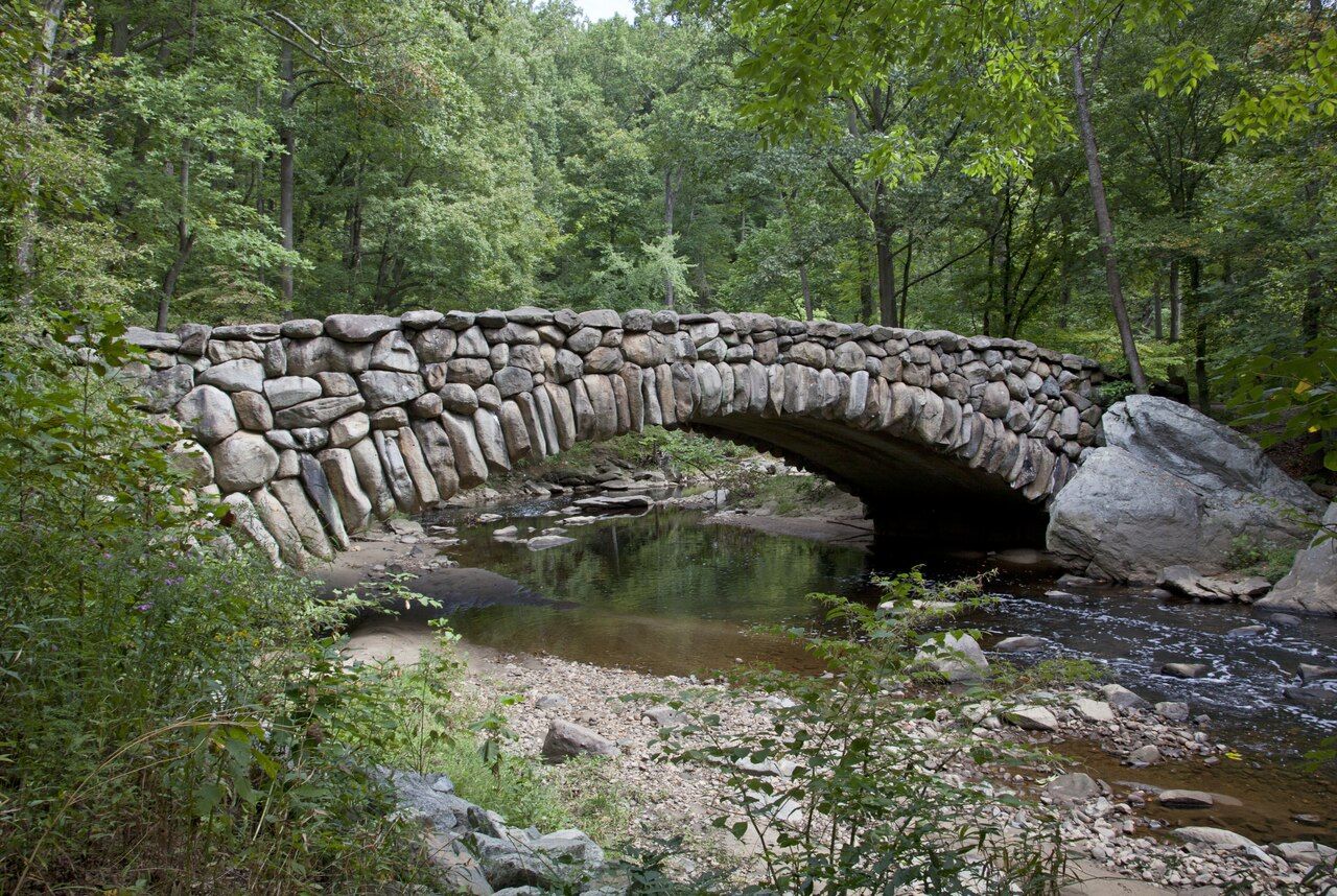
Above Boulder Bridge the park becomes quieter and more like a forest.
 Next door: StayingA year on the hill: seasons in Adams Morgan
Beach Drive and the trails
Beach Drive is the main road through the park, following the creek for much of its length. Parts of it have been closed to cars on weekends and holidays for many years, and some sections have been closed to traffic at all times in recent years, making them popular with walkers, runners and cyclists. Which sections are closed, and when, has changed several times.
The park also has long trails through the woods on either side of the creek. The two best known run along the eastern and western sides of the valley for several miles, marked with coloured blazes on trees, with many connecting paths. They are narrow, rocky and rooty in places, with steep sections. You can walk just a short stretch or make a full day of it.
- Stay on marked trails; some unmarked paths lead to steep, eroded slopes.
- Carry water and a charged phone; mobile signal can be weak in parts of the valley.
- Download or carry a map, because trail junctions are not always signed.
The nature center
The park's nature center, in the middle of the park off Military Road and Glover Road, has exhibits on the park's wildlife and plants, a small planetarium, information from rangers and a start point for several trails. It is too far to walk comfortably from Adams Morgan for most visitors, so many people combine a bus ride or a cab with a walk back down the valley.
Wildlife in the park includes deer, foxes, owls, woodpeckers, herons along the creek and many smaller animals. Early morning and the hour before dusk are the best times to see them.
Birdwatchers come for the spring migration, when warblers and other songbirds pass through the valley in large numbers, usually from late April into May. Even without binoculars you will hear the difference, as the woods fill with song in the early morning.
Safety and seasons
Rock Creek Park is busy on weekends and generally safe in daylight, but it is a large, wooded area in a city. Walk with a companion if you can, especially on quieter trails, keep valuables out of sight, and leave the park before dark. Do not swim or wade in the creek; the water quality is often poor, and the current can be strong after rain. Dogs must be kept on a leash, and cyclists share the paved paths, so keep to one side and listen for bells. Flash flooding is possible during heavy storms, so stay away from the water's edge when it is rising.
In summer, ticks and mosquitoes are common, so wear long trousers on narrow trails and check yourself afterwards. Summer days are hot and humid, though the shade under the trees helps. Spring brings wildflowers and fresh green leaves, and autumn turns the valley gold and red, the best time of year for a long walk.
A good half-day plan is to walk down from the neighbourhood, follow the creek north past the zoo to Peirce Mill, and come back up through Mount Pleasant or along the valley. Combine it with a visit to the National Zoo if you have more time.
More from this block: Parks and the creek.