
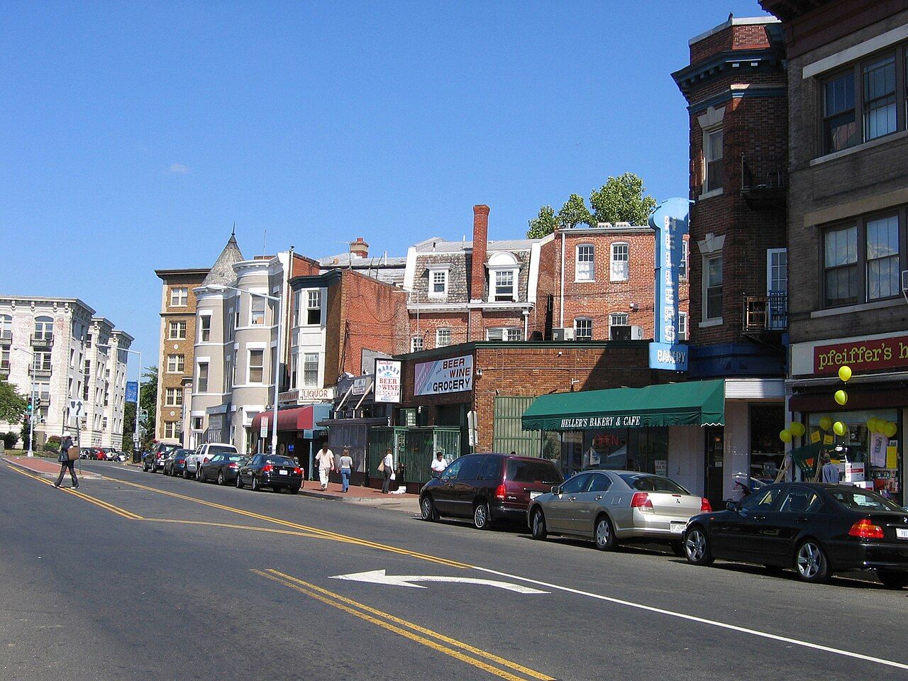
Mount Pleasant is the neighbour that Adams Morgan visitors most often miss. It starts barely a quarter of an hour's walk from 18th Street, yet it has a different pace altogether. There is one commercial street, a few blocks long, lined with corner groceries, bakeries, hardware and laundry, and behind it a grid of residential streets that ends abruptly at the wooded edge of Rock Creek. People who live here talk about it as a village, and on a weekday morning it is easy to see why.
The walk over from Columbia Road
Follow Columbia Road east from 18th Street, past the busy blocks around the crossroads, and bear north into Mount Pleasant where the road meets 16th Street and the streets beyond. The walk climbs gently and takes about fifteen minutes. Alternatively, take Adams Mill Road, which curves north along the edge of the zoo grounds and brings you into the bottom of the neighbourhood with trees on your left most of the way.
Coming back, you can make a loop: down Mount Pleasant Street, then west through the side streets to Adams Mill Road and home. It adds very little distance and gives you both faces of the neighbourhood, the street and the woods.
The street
Mount Pleasant Street is the spine. Its two- and three-storey buildings hold small family-run businesses, many of them started by people who came from El Salvador and elsewhere in Central America from the 1970s onward. You hear Spanish as often as English, Spanish-language church notices go up on the boards, and the bakeries sell sweet breads and pastries you will recognise if you have spent time in Latin America.
The street has had hard moments. In 1991 tensions between residents and the police spilled into several nights of unrest, and the years afterward brought new community groups and a long, careful effort to rebuild trust. Today the street feels settled and neighbourly, though rents and change are as live a subject here as anywhere in the city.
What to look for as you walk:
- Salvadoran pupusas, griddled corn cakes filled with cheese, beans or pork and eaten with a sharp cabbage slaw.
- Bakery windows stacked with pan dulce and tres leches cake.
- Painted walls and murals on side elevations, some of them decades old.
- Notice boards in two languages, the best guide to what is happening that week.
Food here is described in our wider piece on what the neighbourhood eats, which covers the cuisines both neighbourhoods share.
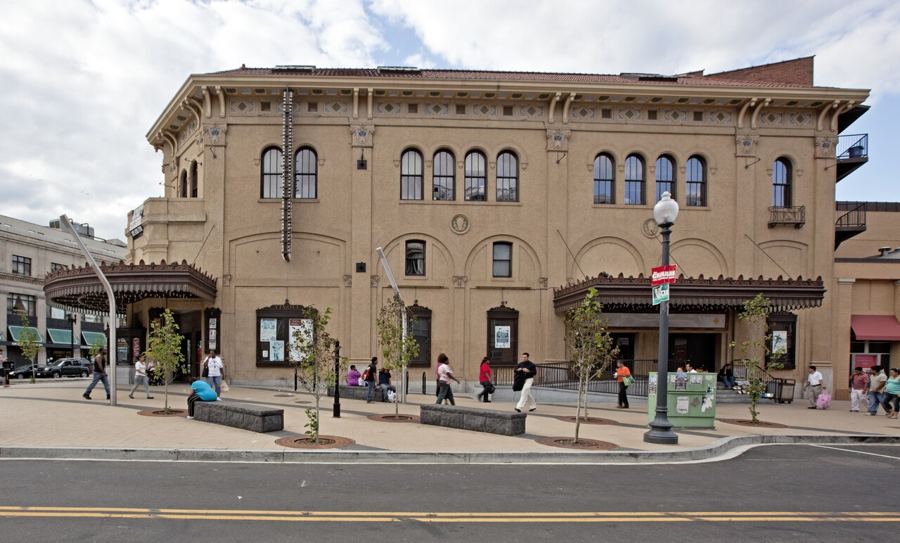 Next door: Next doorColumbia Heights and the Tivoli
Porches, frame houses and a library
Mount Pleasant grew in the late nineteenth and early twentieth centuries as a suburb at the end of the streetcar line, and much of it is now a protected historic district. The housing is more mixed than in Adams Morgan. Alongside long brick rows with bay fronts, you find wooden frame houses with deep porches, a few large detached Victorians with turrets and wraparound verandas, and apartment buildings from the 1910s and 1920s with grand entrance halls.
The porches are the thing.
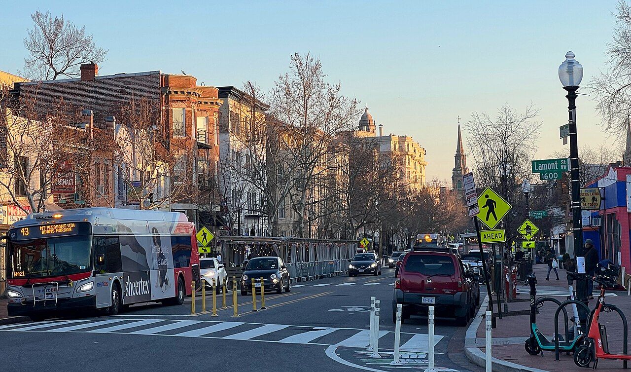
On 16th Street at Lamont Street stands the neighbourhood library, a Carnegie-funded building from the 1920s with tall windows and a classical front. It is a public branch library, open to anyone, and a calm place to sit for half an hour. Check opening hours before you go.
Rock Creek at the end of the road
Walk west along almost any side street and it ends in trees. The neighbourhood sits on a bluff above the Rock Creek valley, and paths lead down from several street ends into Rock Creek Park. On the north side, the smaller valley of Piney Branch cuts in from the east with its own road and stream.
The descents are steep and can be muddy after rain, so wear shoes with grip. Once down, you can follow the creek in either direction; heading south brings you past the lower end of the National Zoo, which has a back entrance close to the valley floor.
Saturdays and weekdays
Saturday morning is the liveliest time. In season a small farmers' market sets up near the top of the street, families do their weekly shopping, and the bakeries are at their busiest. Weekday mornings are quieter and in some ways more telling: buses come and go, children walk to school, and the shopkeepers have time to talk.
Evenings are calm. A few places stay open for food, but this is not a nightlife street, and that is a large part of its appeal after a loud night on 18th Street.
A few tips
- Small businesses here may prefer cash for small amounts; carry a little just in case.
- A few words of Spanish are appreciated but never required.
- Photograph buildings and murals freely, but ask before photographing people or the inside of a shop.
- The Columbia Heights Metro station is a short walk east, which makes it easy to come out by train and walk back to Adams Morgan.
More from this block: Next-door neighbourhoods.