
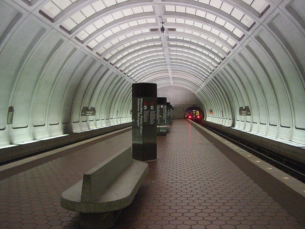
The first thing to know is that Adams Morgan sits on a hill between two Metro lines and is served by neither directly. The second is that this matters much less than you would think. Two stations are within a short walk, buses run along the main streets, and most of what you want nearby is reachable on foot. A car, on the other hand, is mostly a burden here: parking is scarce and the rules are strict.
The two Metro stations
Woodley Park, on the Red Line
West of the neighbourhood, across the Ellington Bridge on Calvert Street, the Woodley Park station sits on Connecticut Avenue. The walk from 18th Street takes about ten to fifteen minutes and is mostly flat until the bridge. The Red Line runs south through Dupont Circle to the downtown core, and north toward Cleveland Park and the suburbs; the National Zoo is a short walk up Connecticut Avenue from the station.
Columbia Heights, on the Green Line
East of the neighbourhood, at 14th Street and Irving Street, Columbia Heights station is about fifteen minutes' walk along Columbia Road, crossing 16th Street. The Green Line runs south through U Street, the National Archives and L'Enfant Plaza, and is the quickest route to the southern half of the city. The walk there climbs gently on the way out and runs downhill on the way back.
Fares depend on distance and time of day, and the system has been adding contactless payment with bank cards and phones alongside its own rechargeable cards. Weekend track work sometimes closes stretches of line and replaces trains with buses, so look at service notices before a weekend trip.
Buses
Buses fill the gaps between the stations. Routes on 16th Street run frequently between the northern neighbourhoods and the White House area, and are among the busiest in the city. Other lines follow Columbia Road, 18th Street and Connecticut Avenue toward Dupont Circle and downtown, and cross-town routes link the area with the Green and Red Lines.
The city's bus network was redesigned in 2025, with new route names and numbers, so a route number in an older guide may no longer exist. The information panels at stops list the routes that serve them. Buses use the same cards and payment methods as the trains.
One service you should not plan around: the DC Circulator buses, once a favourite with visitors, stopped running at the end of 2024.
 Next door: Next doorU Street and the music of Black Broadway
Shared bikes and scooters
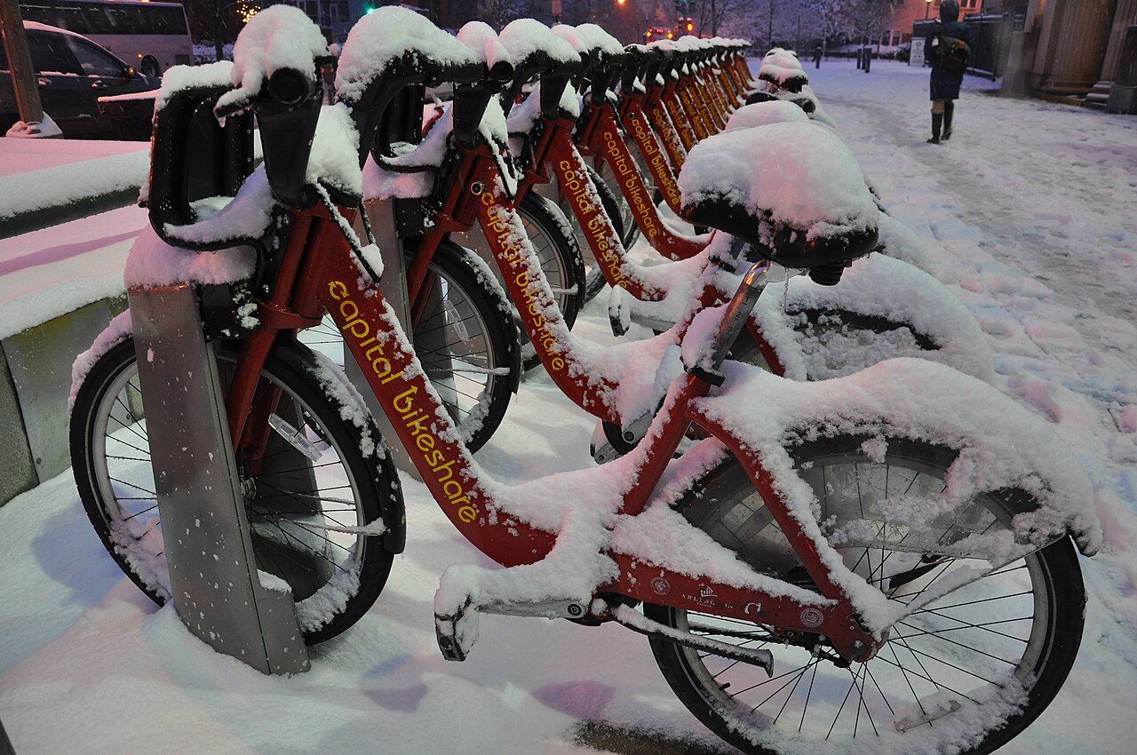
The city has a large docked bike-share system, with red bikes at stations across Washington and the nearby suburbs, including several in and around Adams Morgan. Single rides and short-term passes are available at the docks; e-bikes cost a little more to ride. Dockless electric scooters and bikes are also common, parked on sidewalks and rented by phone.
- Painted bike lanes run on several nearby streets, and some are separated from traffic.
- The path through the Rock Creek valley is a pleasant, mostly car-free route south toward Georgetown and the Potomac.
- Remember that you will be riding up the hill on the way home. E-bikes earn their extra charge here.
- Helmets are a good idea, and riding on downtown sidewalks is restricted.
Walking the hills
Walking is the best way to get around, and it is how most of the guides on this site are meant to be done. Distances are short: Dupont Circle is twenty minutes away, U Street fifteen, Mount Pleasant and Columbia Heights about the same. The catch is the terrain. The neighbourhood stands on a ridge, so almost every walk out is downhill and every walk home is a climb.
Pace yourself accordingly: walk out, ride back. Columbia Road climbs east toward 16th Street; 18th Street drops south to Florida Avenue; Calvert Street runs out on the level to the bridge over the valley. In summer, carry water and walk in the shade where you can.
Late at night
Metro trains stop running in the late evening and start again early in the morning, with longer hours on some weekend nights. After that, taxis and app-booked cars are the main options. On busy weekend nights, the corner of 18th Street and Columbia Road can be crowded with cars picking people up; walking a block or two away often makes a pickup quicker. Some bus routes run late or through the night along the main corridors.
The neighbourhood is generally busy and lively late, but use the same sense you would in any city: stay on lit streets, keep your phone and wallet out of sight, and avoid cutting through the park valleys after dark.
If you do bring a car
Most residential streets in and around Adams Morgan are in residential permit zones, where cars without a permit can park for only a limited time during the day. Meters on commercial streets have their own time limits and hours, rush-hour lanes on some main roads are no-parking zones at set times, and street cleaning and snow emergencies bring further restrictions. Signs explain the rules for each block, and enforcement is active, with towing for the worst offences. Read every sign before you leave the car, or use a garage. Most visitors find it simpler to leave the car parked for their whole stay and travel by train, bus and foot, as described in our guide to a day downtown.
More from this block: Staying in the neighbourhood.