
Many neighbourhood names in Washington come from old estates, landowners or geography. Adams Morgan is different. Its name was put together deliberately in the 1950s, from the names of two local schools, by people trying to build something that the city's divisions of the time made difficult.
Before the name
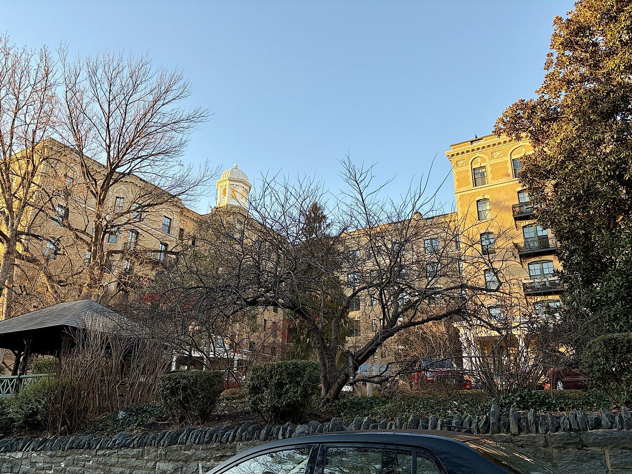
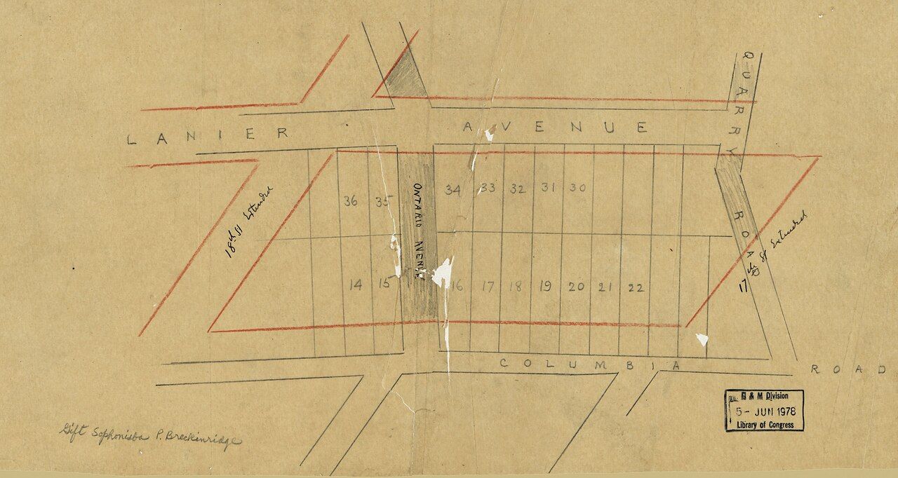
For its first decades, the area now called Adams Morgan was several places rather than one. Developers and residents used names such as Lanier Heights, for the steep slopes toward Rock Creek; Washington Heights, for the blocks near the commercial streets; Meridian Hill, for the high ground around 16th Street; and Kalorama, for the estate-turned-suburb to the west. Each was built up in the decades around 1900 with rowhouses, apartment buildings and a few large houses.
Those older names have not vanished. Some survive in historic district titles, some on street signs, and some in the way older residents describe where they live. Our guide to reading a Washington rowhouse walks through the districts that keep them.
The two schools
The name comes from two public schools near each other in the neighbourhood: the John Quincy Adams School and the Thomas P. Morgan School. Washington's public schools were segregated by race until the mid-1950s, and the two schools served different communities within the same streets.
John Quincy Adams, the sixth president, needs little introduction. Thomas P. Morgan was a figure from the city's earlier civic life, and his school bore his name long before the neighbourhood did. The Adams school building still stands and is still used as a school. The Morgan school is harder to trace on the ground today; accounts of its later history vary, so treat any precise version with care.
A citizens' group in the 1950s
In the mid-1950s, as the city's schools were desegregating and older neighbourhoods were changing fast, residents, school communities and local organisations formed a group to work on shared problems: housing conditions, schools, traffic, crime and the threat of large-scale redevelopment that was clearing other parts of the city. They called it the Adams-Morgan Better Neighborhood Conference, after the two schools.
What made the group notable was that it brought together people of different races and backgrounds at a time when that was far from normal in Washington. It is often described as one of the city's early integrated citizens' groups. The exact membership and its achievements are a matter for local historians, but the name stuck, and it gradually came to mean the place itself rather than the conference.
 Next door: RootsAdams Morgan Day: the neighbourhood's festival
The neighbourhood that grew under that name kept the habit of organising. Over the following decades residents formed tenant groups, community councils, festivals and arts projects. Some of that energy is still visible in the neighbourhood's murals, many of which carry messages about community and belonging.
The hyphen that dropped away
Early references wrote the name with a hyphen, Adams-Morgan, reflecting its origin as two names joined. Over time the hyphen fell out of everyday use, and Adams Morgan became the usual spelling on signs, in newspapers and in conversation. You will still see the hyphenated form in older documents and on some plaques.
The nickname AdMo is much more recent, a casual shortening used by residents, businesses and the city's younger crowd. It is fine to use it, though older residents tend to say the full name.
The neighbourhood's boundaries have never been fixed by law, and different people draw them differently. Most would agree that the crossroads of 18th Street and Columbia Road is the centre, that Florida Avenue marks the southern edge and that Rock Creek's valley forms the western one. Where Adams Morgan ends and Mount Pleasant, Columbia Heights or Kalorama begins is a friendly argument that you will not settle on a visit.
A community that kept arriving
From the 1960s onward the neighbourhood became one of the city's main destinations for people arriving from Latin America, especially Central America, as well as from Ethiopia, Eritrea, the Caribbean, West Africa and Asia. They opened shops, churches, restaurants and community organisations, and the commercial streets took on the varied character they still have. The food alone tells that history, as our story on the neighbourhood's kitchens explains.
Later decades brought rising rents and the nightlife strip, and with them arguments about who the neighbourhood is for. Those debates echo the founding idea of the name: that very different people sharing a few blocks can decide things together.
Much of that local decision-making now runs through an elected neighbourhood commission, one of the advisory bodies that cover small areas across the city. Its public meetings deal with licences, planning, traffic and street life, and anyone can attend; times and places are published in advance, so look them up if you are curious.
Seeing the history today
There is no single museum or monument to the name, but you can trace it on foot in an hour or so.
- Walk to the Adams school building west of the commercial strip and look at its front from the street; it is a working school, so do not enter the grounds.
- Walk the side streets around Kalorama Road and Belmont Road to see the houses that predate the name.
- Head to the crossroads of 18th Street and Columbia Road, the meeting point that the neighbourhood grew around.
- Look for historic plaques and neighbourhood heritage signs, which appear on some corners and tell parts of the story.
All of this is free. If you want the history in more depth, the city's public libraries and local history organisations hold collections on the neighbourhood.
More from this block: How the neighbourhood came to be.